Hot Templates
houseofcardssmooth slow motion onlineviral slowmo dumpproduct photography near mecreate slow motion videobest family photographers near mefunnyvideoavid slow motioncagraduation photo studiochair3Hug Boyfriend AIbest app for video slow motionflow velocityKpop Demon Hunter aikings beachhome photo studiogirllikemejjkenyalwaiting chair 3 seater
Free googleearth pro Templates by CapCut
Add new video

00:10
29.3k
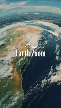
Earth Zoom

00:14
1.9k
Zoom earth trend

00:16
424
earth template

00:05
7.8k
google earth

00:16
8.5k
Earth Zoom intro
houseofcards
smooth slow motion online
viral slowmo dump
product photography near me

00:07
84
Earth Zoom Photo

00:11
25.7k
Google Earth View

00:20
15
GOOGLE EARTH TRENDS

00:14
9.1k
Earth zoom edit

00:14
508.9k
Google earth trend

00:16
182.7k
EARTH TEMPLATE

00:13
2.5k
Earth zoom

00:05
117
Google earth
00:14
81.6k
Earth Zoom Trend

00:15
14.7k
EARTH ZOOM
00:14
256
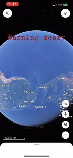
Scary.

00:11
4
Earth zoom out

00:16
6.9k
Earth Template