Hot Templates
houseofcardssmooth slow motion onlineviral slowmo dumpproduct photography near mecreate slow motion videobest family photographers near mefunnyvideoavid slow motioncagraduation photo studiochair3Hug Boyfriend AIbest app for video slow motionflow velocityKpop Demon Hunter aikings beachhome photo studiogirllikemejjkenyalwaiting chair 3 seater
Free google satellite view Templates by CapCut

Add new video

00:07
618.0k
Google Search
00:23
9.0k
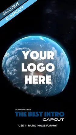
Intro Earth

00:08
95.8k
Google search

00:05
7.9k
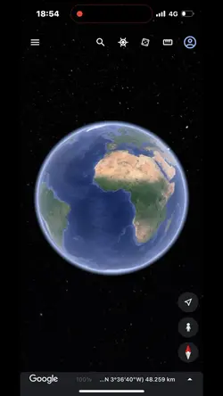
google earth

00:06
10.1k
Google Search templ
houseofcards
smooth slow motion online
viral slowmo dump
product photography near me

00:11
2.2k
Google Collage
00:13
10.0k
google search trend🧸

00:15
53.1k
Earth template
00:10
326
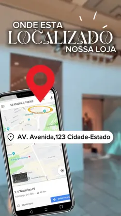
LOCALIZAÇÃO LOJA

00:16
8.6k
Earth Zoom intro

00:17
6.5k
Streetviewtemplate:
00:16
9.3k
google earth
00:06
132
Relive History

00:20
5.6k
Esrth Best Intro

00:11
1.3k
Earth zoom

00:10
78.5k
Google Search

00:09
928
World zoom

00:05
761
Just Google It