Free Google Maps Timelapse Templates By CapCut
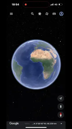
Discover how Google Maps Timelapse lets you journey through decades of earth’s transformations with stunning satellite imagery. Effortlessly visualize how cities, forests, and coastlines have changed over time. Whether you’re a student researching environmental trends, a professional in urban planning, or simply curious about our planet’s evolution, Google Maps Timelapse offers an engaging, interactive tool to see historical changes from anywhere. Experience seamless navigation, high-resolution layers, and customizable timeframes—perfect for educational use or personal exploration. Start your virtual timelapse journey today and witness the world’s incredible transformations with ease.
More Templates


206.8K
google search

185K
TRY my new template

84.6K
still growing up

66.6K
First day of school

52.1K
Breaking News

42.4K
Minhaz

41.1K
Try new template

18.9K
No Way That's Great!

17.1K
recarga vibes

15.4K
Earth zoom
9.9K
google earth

8.6K
working gs clock

6.6K
Trend Edit

5.1K
Loading

3.2K
Minhaz

3K
Zoom meeting

1.1K
Target Trap

333
Time stamps

140
day 1/100
1
Hot Templates
About google maps timelapse
Discover how Google Maps Timelapse lets you journey through decades of earth’s transformations with stunning satellite imagery. Effortlessly visualize how cities, forests, and coastlines have changed over time. Whether you’re a student researching environmental trends, a professional in urban planning, or simply curious about our planet’s evolution, Google Maps Timelapse offers an engaging, interactive tool to see historical changes from anywhere. Experience seamless navigation, high-resolution layers, and customizable timeframes—perfect for educational use or personal exploration. Start your virtual timelapse journey today and witness the world’s incredible transformations with ease.