Hot Templates
HouseofcardsSmooth Slow Motion OnlineViral Slowmo DumpProduct Photography Near MeCreate Slow Motion VideoBest Family Photographers Near MeFunnyvideoAvid Slow MotionCaGraduation Photo StudioChair3Hug Boyfriend AIBest App For Video Slow MotionFlow VelocityKpop Demon Hunter AiKings BeachHome Photo StudioGirllikemeJjkenyalWaiting Chair 3 Seater
Free Google Map Satellite Live Templates By CapCut

Add new video

00:10
43.8k
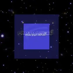
Space earth zoom

00:12
71.3k
Memory template

00:13
4.0k
Love and hate it

00:05
9.9k
google earth

00:10
1.7k
Earth zoom meme
Houseofcards
Smooth Slow Motion Online
Viral Slowmo Dump
Product Photography Near Me

00:12
9.5k
TREND EDIT

00:15
2.7k
Streetviewtemplate
00:17
70.5k
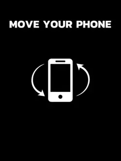
gire seu celular
00:14
7.1k
space

00:15
20.0k
Streetviewtemplate12

00:10
5.2k
Viral🔥

00:06
698.8k
Trending Edit New
00:15
232.7k
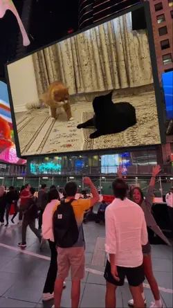
New York Screen
00:09
14.9k
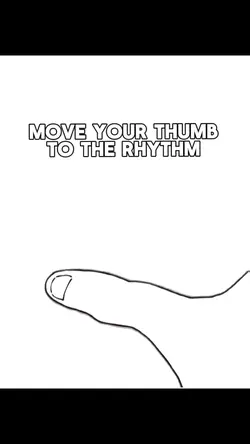
Move Your Thumb

00:10
30.4k
Earth Zoom

00:09
1.3m
nossa! vem de 4trão

00:12
1.2m
all friends are fake

00:42
14.6k
Trip Gone Wrong