Hot Templates
HouseofcardsSmooth Slow Motion OnlineViral Slowmo DumpProduct Photography Near MeCreate Slow Motion VideoBest Family Photographers Near MeFunnyvideoAvid Slow MotionCaGraduation Photo StudioChair3Hug Boyfriend AIBest App For Video Slow MotionFlow VelocityKpop Demon Hunter AiKings BeachHome Photo StudioGirllikemeJjkenyalWaiting Chair 3 Seater
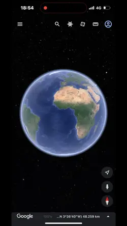
Free Google Earth Live Satellite Templates By CapCut

Add new video

00:07
2.5k
Zoom Earth AI Trend

00:07
0
Earth review

00:15
19.9k
Streetviewtemplate12

00:05
9.9k
google earth
00:57
4.9k
Solar system edit
Houseofcards
Smooth Slow Motion Online
Viral Slowmo Dump
Product Photography Near Me

00:16
12.9k
mundo zoom1 edit

00:13
8.0k
Local no mapa
00:16
9.7k
google earth

00:15
2.7k
Streetviewtemplate

00:17
132.4k
zoom na terra edit

00:10
5.1k
Viral🔥

00:13
13.2k
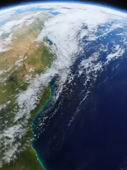
Earth zoom trend

00:14
867.8k
zoom out earth trend

00:16
10.5k
Earth Zoom intro

00:11
7.7k
Earth zoom

00:10
1.7k
Earth zoom meme
00:15
2.6k
earth zoom trend

00:30
63
Alguém me avisou