Hot Templates
houseofcardssmooth slow motion onlineviral slowmo dumpproduct photography near mecreate slow motion videobest family photographers near mefunnyvideoavid slow motioncagraduation photo studiochair3Hug Boyfriend AIbest app for video slow motionflow velocityKpop Demon Hunter aikings beachhome photo studiogirllikemejjkenyalwaiting chair 3 seater
Free google aerial view Templates by CapCut

Add new video

00:14
302.5k
plane template

00:33
4
Google

00:11
369
A Streetviewtemplate

00:11
25.7k
Google Earth View
00:31
31.5k
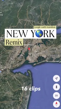
New york
houseofcards
smooth slow motion online
viral slowmo dump
product photography near me

00:10
78.7k
Google Search

00:07
618.4k
Google Search

00:15
53.1k
Earth template

00:16
80.2k
Searching…

00:03
498
Highlights

00:05
7.9k
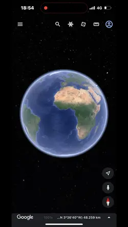
google earth
00:30
275
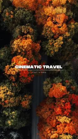
cinematic travel

00:30
810
TRAVEL TRAILER

00:05
761
Just Google It

00:16
166.6k
pesquisa no Google
00:16
9.3k
google earth

00:10
517
google search pict

00:09
20
Aerial View NVIDIAAI