Modelos em alta
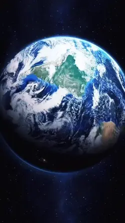
terra 3d
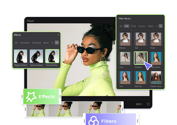
Add new video
00:15
228.6k
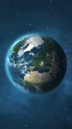
Trend planeta Terra
00:19
10.3k
Trend do planeta
00:09
132
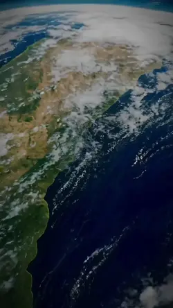
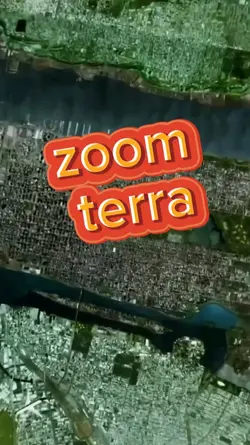
zoom terra
00:11
386.1k
earth zoom

00:10
197
PLANETA TERRA 🏆
modelos 3d livres
urso de pelúcia 3d
modelo 3d de disco voador
desenho 3D no AutoCAD

00:12
424
THE BEST INTRO
00:14
845
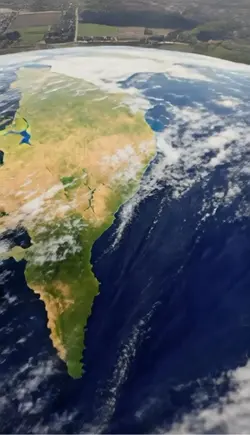
Zoom da terra
00:18
811
EARTH ZOOM 🏆
00:12
3.0k
Astrao na trend

00:10
196
Zoom EARTH (EDIT)
00:14
1.9k
ZOOM EM TERRA
00:14
59
Earth Zoom Out
00:15
166
efeito mapa
02:00
15
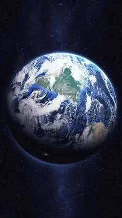
terra
00:22
29.5k
Earth zoom
00:08
23.5k
Earth
00:29
20
terra 3D incrível
00:10
40.9k
Space earth zoom