Populaire sjablonen
hoogtemap maker
Add new video
01:00
3.0k
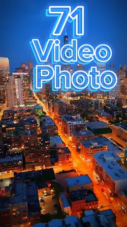
71 clip or photo

00:09
12.2k
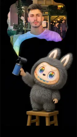
Labubu
00:36
11.5k
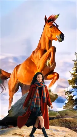
Fusion map

00:10
979
Melting map template
00:25
264
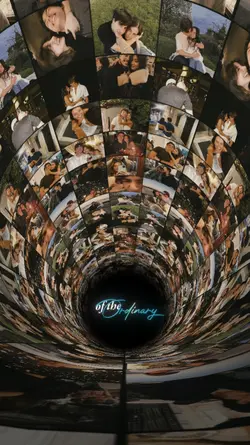
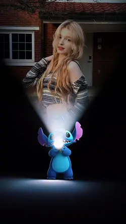
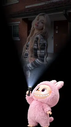
tunnel effect
hoogtekaart maken
automatisch fotobewerkingsprogramma
dslr foto achtergrond
ai anime kunst generator van tekst
00:03
99.8k
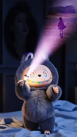
Labubu wallpaper
00:08
2.9k
Mapping Template 🗺️
00:09
69.9k
Labubu
00:06
10.8k
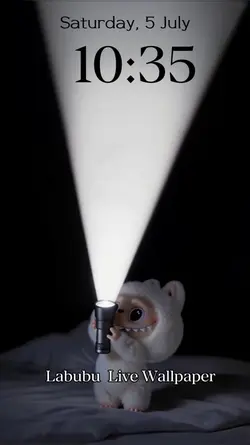
Labubu Wallpaper
00:12
99
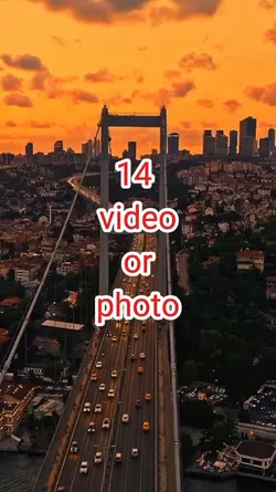
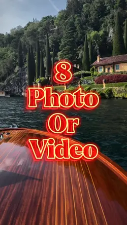
14 video or Photo
00:08
46.7k
dynamic wallpaper
00:11
6.5k
Fusion map
00:07
543
labubu wallpaper
00:10
469.4k
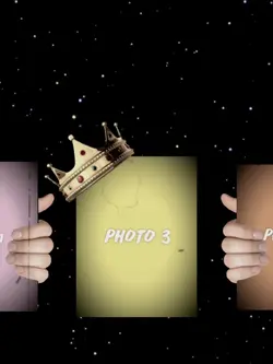
Goat King Trend EDIT
00:06
266.6k
Trending Edit New
00:22
473
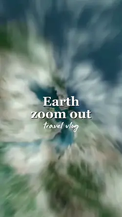
Earth zoom out

00:04
68
Melodywallpaper
00:25
27
Mid year recap