Modelli popolari
Free Aereo 3D Templates By CapCut

Add new video

00:14
323.0k
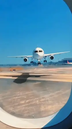
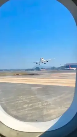
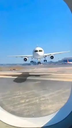
plane template

00:05
1.3k
ai flight

00:13
2.2k
Airplane ✈️
00:09
17.8k
Airplane

00:05
10.3k
Ai plane
realizzatore di oggetti 3D
solidworks scansione in 3d
modelli sketchup 3d gratis
lavatrice 3d

00:10
1.1k
Plane spotting edit
00:08
162.2k
airplane trend

00:10
2.6k
Über dem Flugzeug
00:08
949
Airplane Intro

00:06
5.9k
Ai flight

00:12
4.6k
Airport AI

00:10
1.1k
Flying over plane

00:06
805
Helicopters Ai

00:17
35
airplane stairs

00:07
324
helicopter

00:05
136
ai airplane