Template Populer
bumi 3d
Add new video

00:15
4.4k
Earth Zoom Effect

00:13
844
trend earth zoom in
00:22
584
trend zoom earth
00:17
173.7k
EARTH ZOOM TREND
00:29
13.6k
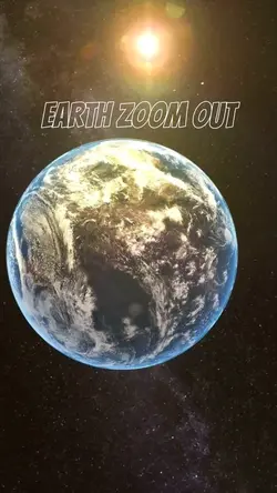
earth zoom out
gratis model 3D
model ufo 3d
model 3d sketchup gratis
model tiga dimensi wanita
00:10
423
trend zoom out
00:22
34.6k
ZOOM EARTH

00:12
359
EARTH ZOOM OUT SEA
00:14
101
Trend Earth Zoom

00:14
56.7k
trend google earth
00:14
62.3k
Trend earthzoomout

00:05
35.6k
Earth zoom out

00:10
41.7k
Space earth zoom
00:14
9.0k
trend zoom google

00:08
24.0k
Earth

00:15
2
Zoom Earth x Pantai

00:15
1.9k
1 FOTO ZOOM EARTH
00:14
667.2k
trend earth zoom out