Hot Templates
PopchallengePixel Style FilterMrcomfort FlipbookI2II2I ComAi In BusinessI2I HealthDeepmind AiI2I Population Health RevenueI2I WebsiteMermaid AIPredictionWallpaper Import Photos Or VideosPhotos Can Be RemovedTry This WallpapePredict Child AIHow Can I Crop Something Out Of A PictureCan You Edit Blemishes On IphoneHow Can You Photoshop Someone Out Of A PictureCan You Photoshop Someone Out Of A Picture
Free Zoom Earth Cyclone Templates By CapCut

Add new video
00:15
2.6k
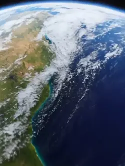
earth zoom trend

00:09
1.6k
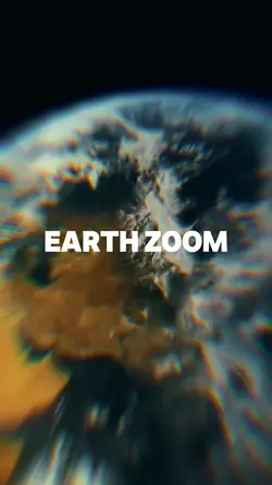
EARTH ZOOMING IN

00:21
14.0k
Edit of AI and Kyrie

00:10
5.1k
Viral🔥
00:11
8.0k
Earth zoom
Popchallenge
Pixel Style Filter
Mrcomfort Flipbook
I2I

00:14
14.8k
lamar jackson edit

00:13
13.2k
Earth zoom trend

00:14
44.9k
lamar jackson edit

00:16
10.5k
Earth Zoom intro

00:14
121.7k
Trmolate KEEP UP

00:14
868.3k
zoom out earth trend
00:10
4.1k
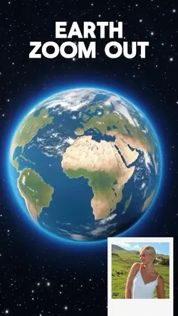
Earth Zoom Out AI

00:18
19.6k
Free edit

00:08
7.5k
dunananaster

00:13
721
Zoom out earth trend

00:12
148.5k
EARTH ZOOM AI

00:16
68
earth

00:12
78.5k
Cube template