Hot Templates
popchallengePixel style filterMrcomfort flipbooki2ii2i comai in businessi2i healthdeepmind aii2i population health revenuei2i websiteMermaid AIpredictionwallpaper Import photos or videosPhotos can be removedTry this wallpapePredict Child AIhow can i crop something out of a picturecan you edit blemishes on iphonehow can you photoshop someone out of a picturecan you photoshop someone out of a picture
Free zoom earth 2021 Templates by CapCut

Add new video
00:07
605
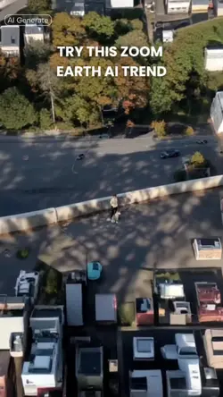
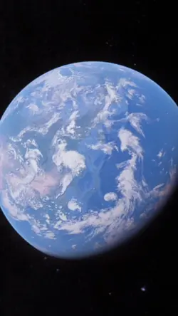
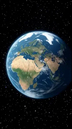
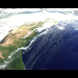
Zoom Earth AI Trend
00:15
2.4k
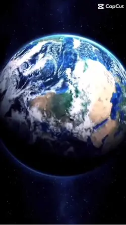
earth zoom trend
00:15
1.3k
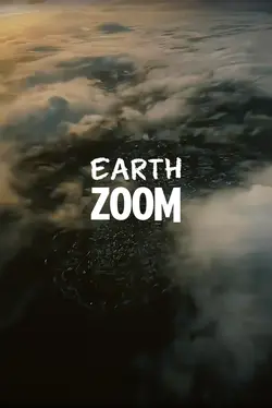
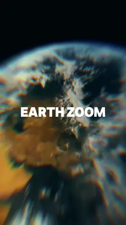
EARTH ZOOM
00:05
8.0k
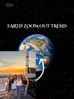
Earth zoom out trend
00:13
17
earth zoom trend
popchallenge
Pixel style filter
Mrcomfort flipbook
i2i

00:10
4.0k
Viral🔥

00:14
719.2k
zoom out earth trend
00:06
48.2k
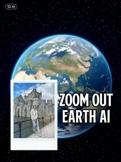
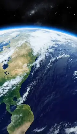
Zoom Out Earth
00:13
2.6k
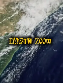
Earth zoom
00:13
10.0k
EARTH ZOOM TREND
00:05
765
earth zoom out
00:11
1.3k
Earth zoom
00:17
575
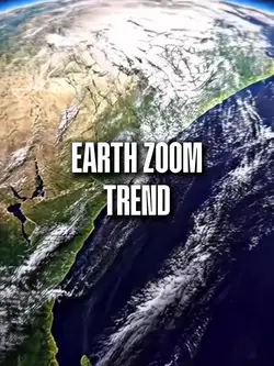
Earth Zoom Trend
00:16
1.3k
Google earth zoom

00:10
29.4k
Earth Zoom
00:13
10.6k
Earth zoom trend
00:13
648
Earth zoom

00:08
5
zoom earth falhou kk