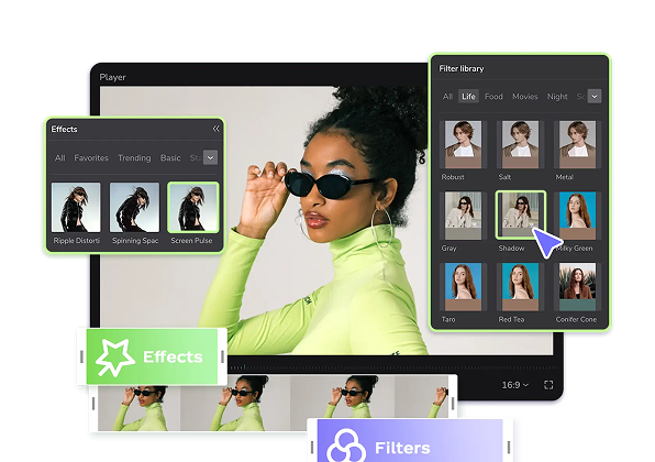
Hot Templates
popchallengePixel style filterMrcomfort flipbooki2ii2i comai in businessi2i healthdeepmind aii2i population health revenuei2i websiteMermaid AIpredictionwallpaper Import photos or videosPhotos can be removedTry this wallpapePredict Child AIhow can i crop something out of a picturecan you edit blemishes on iphonehow can you photoshop someone out of a picturecan you photoshop someone out of a picture
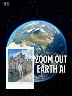
zoom dot earth
Add new video
00:06
47.6k
Zoom Out Earth
00:07
342
Zoom Earth AI Trend
00:14
76.2k
Earth Zoom Trend
00:14
7.1k
Earth zoom edit
00:06
716
Zoom in Earth
popchallenge
Pixel style filter
Mrcomfort flipbook
i2i
00:13
2.1k
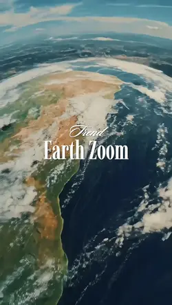
Earth zoom

00:14
665.7k
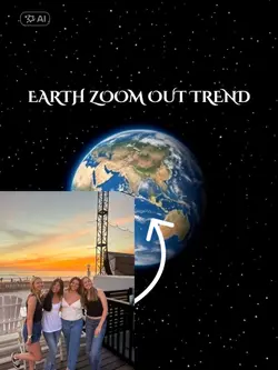
zoom out earth trend
00:15
11.7k
EARTH ZOOM
00:09
4.5k
Zoom Earth AI

00:06
2
Earth Zoom Filter
00:10
2.9k
Earth Zoom Out AI
00:13
9.2k
Earth zoom trend
00:18
4.5k
Earth Zoom Velocity
00:13
209
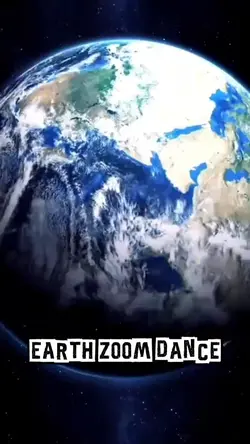
Earth zoom dance
00:05
7.7k
Earth zoom out trend
00:09
79.7k
Earth zoom effect
00:14
109
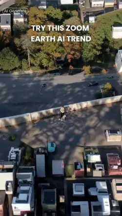
EARTH ZOOM OBJ EDIT

00:08
30
Earth Zoom AI