Hot Templates
houseofcardssmooth slow motion onlineviral slowmo dumpproduct photography near mecreate slow motion videobest family photographers near mefunnyvideoavid slow motioncagraduation photo studiochair3Hug Boyfriend AIbest app for video slow motionflow velocityKpop Demon Hunter aikings beachhome photo studiogirllikemejjkenyalwaiting chair 3 seater
Free real time satellite view Templates by CapCut

Add new video

00:30
274
cinematic travel

00:10
24.9k
Flying Rocket Ship

00:06
21.3k
Summer is calling u

00:11
1.3k
Earth zoom
00:16
4.8k
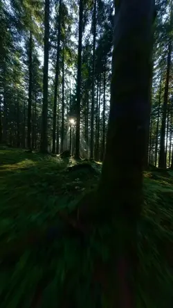
FLIGHT INTO FOREST
houseofcards
smooth slow motion online
viral slowmo dump
product photography near me
00:08
110
Imagens de drone

00:15
53.1k
Earth template

00:24
5.1k
Epic Transition

00:07
37
EVEREST

00:20
3.0k
✍️🔥Fire edits🔥✍️
00:15
2.4k
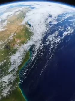
earth zoom trend

00:10
9.4k
Blue city

00:10
592
Iceland Waterfalls

00:21
967
Travel guide

00:14
302.3k
plane template

00:18
22.5k
Seeing Life

00:08
4.7k
Perfect Mountains

00:10
4.0k
Viral🔥