Hot Templates
HouseofcardsSmooth Slow Motion OnlineViral Slowmo DumpProduct Photography Near MeCreate Slow Motion VideoBest Family Photographers Near MeFunnyvideoAvid Slow MotionCaGraduation Photo StudioChair3Hug Boyfriend AIBest App For Video Slow MotionFlow VelocityKpop Demon Hunter AiKings BeachHome Photo StudioGirllikemeJjkenyalWaiting Chair 3 Seater
Free Google Satelit Templates By CapCut

Add new video

00:21
8.2k
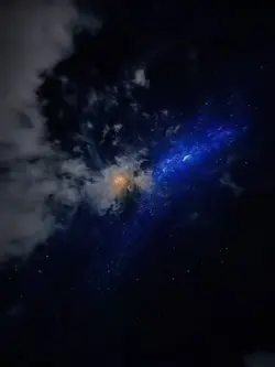
Earth Zoom Out

00:10
4.1k
Earth Zoom Out AI

00:08
1.9k
Apple Maps

00:16
94.7k
google search

00:14
868.6k
zoom out earth trend
Houseofcards
Smooth Slow Motion Online
Viral Slowmo Dump
Product Photography Near Me

00:10
2.0k
Earth zoom out AI

00:05
9.9k
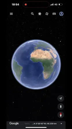
google earth
00:13
721
Zoom out earth trend

00:08
3
PROOF

00:18
310.2k
Hey Siri Whats Aura?

00:11
8.1k
Earth zoom

00:07
2.5k
Zoom Earth AI Trend

00:15
2.6k
earth zoom trend

00:05
53.0k
GOOD QUESTION!

00:10
5.1k
Viral🔥
00:16
9.8k
google earth

00:09
474.5k
surpresa na tv

00:12
1.2m
all friends are fake