Hot Templates
popchallengePixel style filterMrcomfort flipbooki2ii2i comai in businessi2i healthdeepmind aii2i population health revenuei2i websiteMermaid AIpredictionwallpaper Import photos or videosPhotos can be removedTry this wallpapePredict Child AIhow can i crop something out of a picturecan you edit blemishes on iphonehow can you photoshop someone out of a picturecan you photoshop someone out of a picture
Free google maps satellite view zoom Templates by CapCut

Add new video
00:07
605
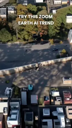
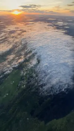
Zoom Earth AI Trend
00:16
9.3k
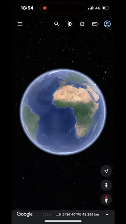
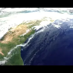
google earth

00:15
16.7k
Streetviewtemplate12
00:11
6.8k
Googlemapstemplate3

00:14
719.2k
zoom out earth trend
popchallenge
Pixel style filter
Mrcomfort flipbook
i2i
00:15
3.6k
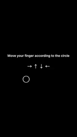
POV Move your finger
00:05
7.9k
google earth
00:10
326
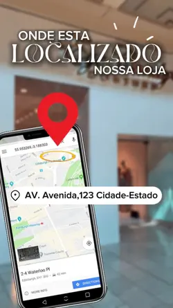
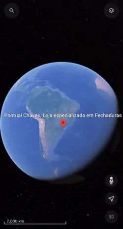
LOCALIZAÇÃO LOJA
00:23
9.0k
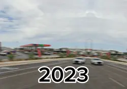
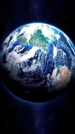
Intro Earth

00:12
3.0k
Gmaps Template 2
00:11
1.3k
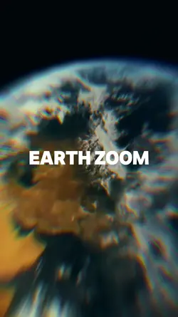
Earth zoom
00:13
4.5k
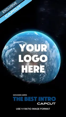
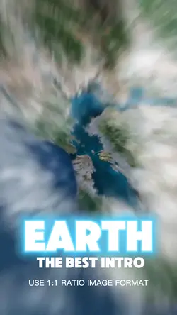
Earth Best Intro 🏆

00:09
928
World zoom

00:17
6.5k
Streetviewtemplate:
00:13
10.6k
Earth zoom trend
00:13
6.2k
Local no mapa
00:15
53.1k
Earth template
00:16
8.6k
Earth Zoom intro