Hot Templates
houseofcardssmooth slow motion onlineviral slowmo dumpproduct photography near mecreate slow motion videobest family photographers near mefunnyvideoavid slow motioncagraduation photo studiochair3Hug Boyfriend AIbest app for video slow motionflow velocityKpop Demon Hunter aikings beachhome photo studiogirllikemejjkenyalwaiting chair 3 seater
Free earth pro Templates by CapCut

Add new video

00:14
6.0k
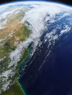
Earth trend
00:15
2.4k
earth zoom trend

00:16
6.9k
The Best Intro

00:15
53.0k
Earth template
00:10
4.0k
Viral🔥
houseofcards
smooth slow motion online
viral slowmo dump
product photography near me
00:08
554
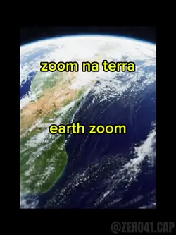
zoom na terra

00:05
7.9k
google earth
00:07
594
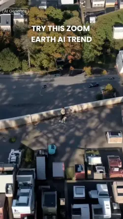
Zoom Earth AI Trend

00:15
945
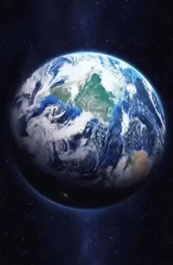
PLANET EARTH

00:15
10.1k
World photo frame

00:16
8.6k
Earth Zoom intro

00:11
1.3k
Earth zoom

00:28
773
The Earth Is Pretty

00:12
4.5k
EARTH TREND
00:20
5.5k
Esrth Best Intro

00:14
9.9k
Earth Best Intro

00:10
1.6k
Earth zoom meme

00:10
489
zoom in terra