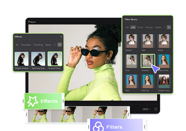
Popüler Şablonlar
maxar
Add new video

00:15
132.3k
yanında kimvar ALLAH

00:10
14.8k
mged200

00:15
175
Muslera

00:19
26.7k
خذ دمانا

00:12
13.1k
از لنگرما شورش طوفان
en son bilim ve teknoloji haberleri
forbes teknoloji
bytes teknoloji grubu
dkoldies kutu açılımı
00:33
49.8k
Kürtçe sevgili edit

00:17
1.3k
ENGİN NURŞANİ

00:16
62.5k
Benden Sonra

00:12
7.8k
Neden bıraktın beni

00:32
100.2k
اناشيد جهاديه

00:15
47.5k
سوريا الدم ينالي

00:11
13.8k
pantulonlarım yoktu

00:15
23.7k
خياي ياسيد الزلم

00:15
9.3k
şarkının güzelliği

00:14
129.1k
Ronaldo edit

00:20
28
MARETRECAP

00:13
58.5k
عــــــــتُـــــــبّ

00:16
7.2k
Slowmo