Populära mallar
Free google earth till sketchup Templates by CapCut

Add new video
00:15
53.6k
Earth template

00:10
4.1k
Viral🔥

00:05
117
Google earth
00:16
7.1k
Earth Template
00:14
259
Scary.
autocad-modeller
3d-modell dela
hamburgare 3d-modell
3d-modellering procreate

00:08
191.9k
Google Search 🔎
00:10
29.4k
Earth Zoom
00:13
2.7k
Earth zoom
00:14
1.9k
Zoom earth trend

00:17
9.0k
Streetviewtemplate1

00:05
8.1k
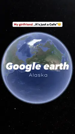
google earth
00:13
10.1k
google search trend🧸
00:11
7.0k
Googlemapstemplate3
00:10
123
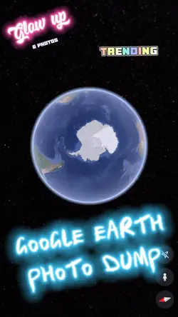
Google Earth
00:17
4.2k
Google earth 🌍
00:20
16
GOOGLE EARTH TRENDS

00:14
10.5k
Earth zoom edit
00:13
1.2k
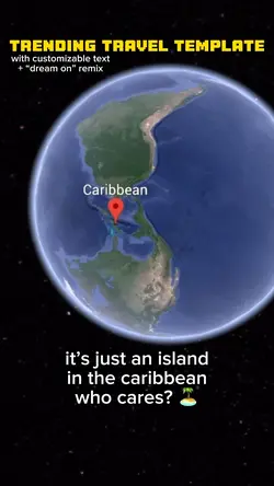
Map / Caribbean