인기 템플릿
google earth to sketchup
Add new video
00:10
121
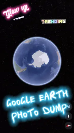
Google Earth
00:05
698
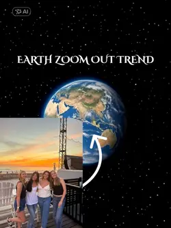
Earth zoom out trend

00:10
3
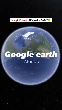
Earth Zoom Indonesia
00:11
20.4k
Google Earth View
00:09
51.9k
Earth zoom effect
s3d warehouse
3dwarehouse
freecad
3 d models

00:07
3
Google search edit
00:20
13
GOOGLE EARTH TRENDS
00:10
21.1k
Earth Zoom
00:17
4.2k
Google earth 🌍
00:13
3.0k
EARTH ZOOM TREND
00:14
226
Scary.
00:13
1.1k
Map / Caribbean

00:05
116
Google earth
00:46
8.3k
Zooming out meme
00:16
51.4k
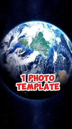
EARTH TEMPLATE
00:11
96
Google Earth Map
00:12
40
Google Earth 🌎🌍🌏

00:07
482.0k
Google Search