Modelli popolari
google earth a sketchup
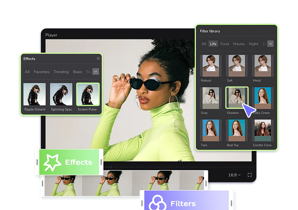
Add new video

00:15
45.1k
Earth template

00:14
245
Scary.
00:13
1.1k
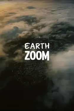
Earth zoom

00:05
5.8k
google earth
00:16
5.8k
Earth Template
realizzatore di oggetti 3D
modelli sketchup 3d gratis
solidworks scansione in 3d
modello 3d pannello solare download gratis

00:14
1.4k
Zoom earth trend

00:16
145.7k
EARTH TEMPLATE

00:15
984
world map

00:14
575
earth zoom trend

00:12
216
Funny Edit 😂😂😂
00:15
5.9k
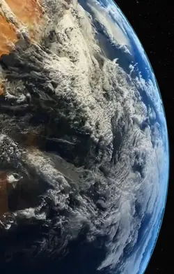
EARTH ZOOM
00:15
1.3k
Trend earth

00:22
1.9k
zoom in trend

00:11
200
zoom earth<<
00:20
14
GOOGLE EARTH TRENDS
00:10
28.6k
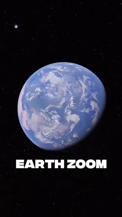
Earth Zoom
00:26
335
Earth Zoom Trend

00:15
170.1k
Earth Zoom