Hot Templates
popchallengePixel style filterMrcomfort flipbooki2ii2i comai in businessi2i healthdeepmind aii2i population health revenuei2i websiteMermaid AIpredictionwallpaper Import photos or videosPhotos can be removedTry this wallpapePredict Child AIhow can i crop something out of a picturecan you edit blemishes on iphonehow can you photoshop someone out of a picturecan you photoshop someone out of a picture
Free zoom earth noru Templates by CapCut

Add new video
00:14
10.3k
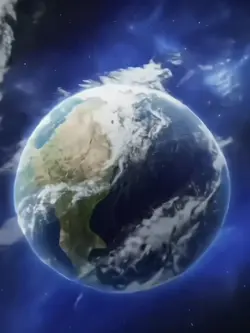
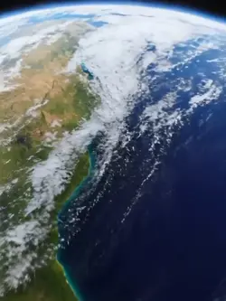
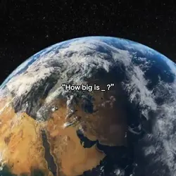
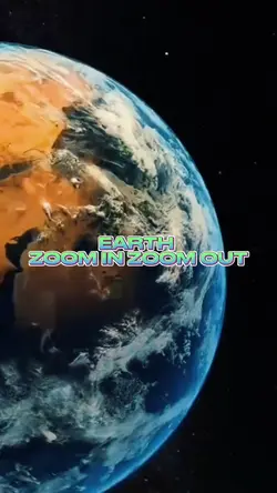
Zoom 🌏 trending
00:09
938
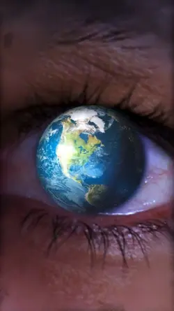
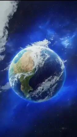
World zoom

00:14
2.1k
Eagles edits

00:14
736.5k
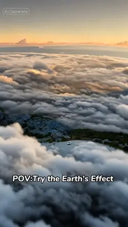
zoom out earth trend
00:10
4.1k
Viral🔥
popchallenge
Pixel style filter
Mrcomfort flipbook
i2i
00:15
53.8k
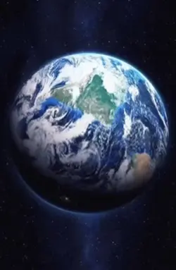
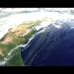
Earth template

00:10
29.4k
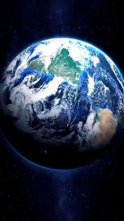
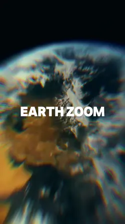
Earth Zoom
00:15
2.4k
earth zoom trend
00:16
8.6k
Earth Zoom intro
00:08
28
Ai zoom earth
00:13
10.9k
Earth zoom trend
00:11
1.5k
Earth zoom
00:10
1.6k
Earth zoom meme
00:10
491
zoom in terra
00:07
683
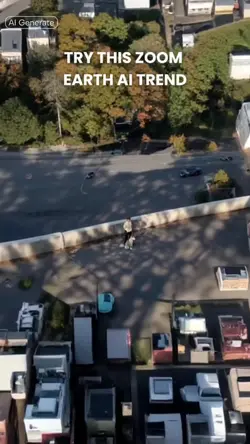
Zoom Earth AI Trend
00:17
22
Earth zoom in & out
00:17
582
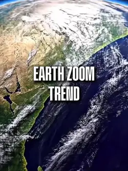
Earth Zoom Trend

00:18
6.3k
Free edit