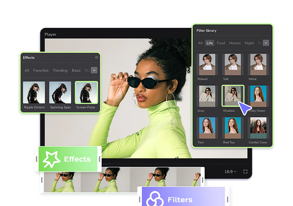
Hot Templates
popchallengePixel style filterMrcomfort flipbooki2ii2i comai in businessi2i healthdeepmind aii2i population health revenuei2i websiteMermaid AIpredictionwallpaper Import photos or videosPhotos can be removedTry this wallpapePredict Child AIhow can i crop something out of a picturecan you edit blemishes on iphonehow can you photoshop someone out of a picturecan you photoshop someone out of a picture
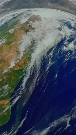
googleearth
Add new video

00:14
80.3k
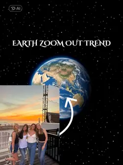
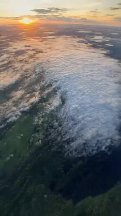
Earth Zoom Trend
00:09
79.9k
Earth zoom effect

00:14
698.8k
zoom out earth trend

00:11
25.7k
Google Earth View

00:09
1.2k
EARTH ZOOMING IN
popchallenge
Pixel style filter
Mrcomfort flipbook
i2i
00:05
7.9k
Earth zoom out trend
00:05
7.7k
google earth

00:20
15
GOOGLE EARTH TRENDS
00:14
8.6k
Earth zoom edit

00:16
394
earth template

00:16
180.1k
EARTH TEMPLATE
00:13
2.4k
Earth zoom

00:15
52.1k
Earth template

00:21
1
zoom earth
00:15
13.7k
EARTH ZOOM

00:14
508.9k
Google earth trend
00:14
1.9k
Zoom earth trend
00:14
61.9k
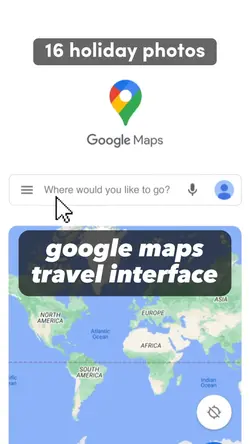
travel interface 📍