Hot Templates
$59 disney world tickets 2022& other stories& other stories red dress&other stories0 meme0.5 tog sleeping bag00s fashion00s songs07 audi a3 s line07 audi a4 s line08 audi a4 quattro s line08 audi a4 s line0832club0dia dj0problems1 2 birthday photoshoot1 2 days late period1 birthday photoshoot1 clothes sale1 d sub no signal
google map satellite zoom
Add new video

00:09
528
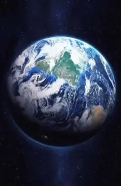
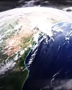
EARTH ZOOMING IN

00:13
198
Earth Zoom edit
00:10
27.2k
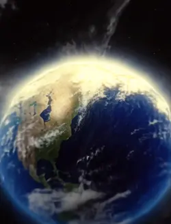
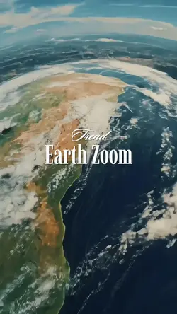
Earth Zoom

00:11
24.2k
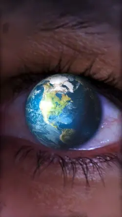
Google Earth View
00:15
74.8k
Earth Zoom
$59 disney world tickets 2022
& other stories
& other stories red dress
&other stories
00:16
4.4k
Earth Zoom intro

00:11
883
Trend zoom earth
00:14
1.6k
Earth Zoom Trend
00:15
199
EARTH ZOOM

00:17
0
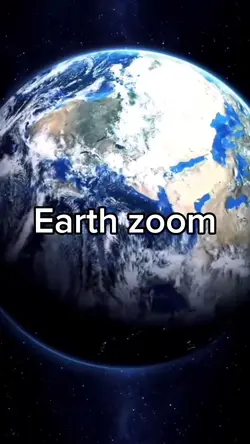
Earth zoom
00:46
8.6k
Zooming out meme

00:14
981
Zoom earth trend

00:14
235.7k
zoom out earth trend
00:15
2
Earth zoom
00:05
2.9k
google earth

00:10
41.9k
Space earth zoom
00:09
71.9k
Earth zoom effect

00:16
0
Earth zoom