Hot Templates
earth 3d model

Add new video
00:13
219
Earth template

00:13
49
Earth trending
00:10
585
Earth Zoom Out AI

00:07
118
Zoom Earth AI Trend
00:05
1
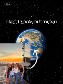
Earth zoom out
s3d warehouse
3dwarehouse
freecad
3 d models
00:11
2
Earth zoom out

00:15
47.9k
Earth Zoom

00:25
0
earth zoom out

00:05
485
earth zoom out

00:08
7
Earth zoom Meme
00:09
70.5k
Earth zoom effect

00:14
854
Zoom earth trend

00:16
99.5k
EARTH TEMPLATE

00:15
31.3k
Earth template

00:10
26.8k
Earth Zoom

00:10
3.7k
Viral🔥
00:15
247
earth zoom trend
00:05
3.5k
Earth zoom out trend