Free World Map Showing Countries Templates By CapCut
Discover the world map showing countries, their borders, and capitals with our interactive online tool. Easily visualize each continent, compare regions, and access detailed country information in one convenient place. Perfect for students, travelers, teachers, and anyone interested in global geography, this resource makes learning fun and engaging. Optimize your exploration experience with accurate maps, seamless navigation, and up-to-date geographic data. Uncover new insights into political boundaries and world regions effortlessly. Start your journey now and expand your knowledge of the world's countries and their unique features.
More Templates


56.6K
Country edit

32.9K
Ottoman😢

29.5K
Image slide

13.5K
mundo zoom1 edit
10.2K
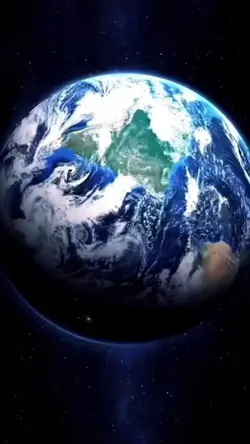
google earth
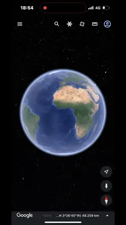
9.8K
google earth

9.6K
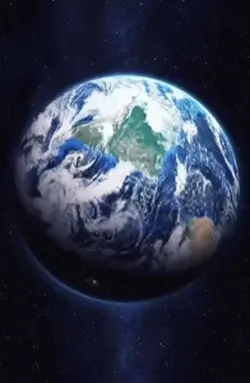
Esrth Best Intro
5.5K
Viral🔥

5.5K
Google map Spiderman
5K
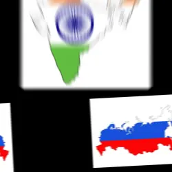
india vs russia
4.9K
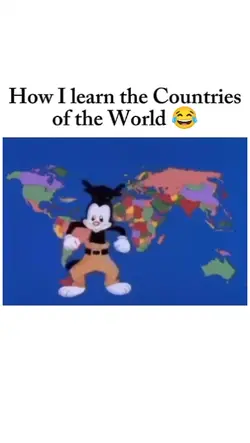
learn the countries

4.3K
Mapping
2.1K
Zoom earth trend

2.1K
When bro asks…

1.2K
Militaries

928
5 country’s AI

0
Our Country King
1
Hot Templates
Template By CbpngNew Template 2026 ProBlack TemplateBlur Video TemplateTemplates For PhotosPhoto TemplatesTentana MontageFree TemplatesLoading TemplateCute TemplatesText Effects TemplatesNew Template 2026 SadZoom Animation EffectsNew Templates 20268K Video Editing 2026Template AestheticOrbit4K Video Editing 2026Name Title Template30 Seconds Video TemplateVideo 2026Templates 20261 Minute Video Template1 Clip Video TemplateArabic TemplateUnknown Montage30 Second Video TemplatePhoto Edit Trending 20263D Special EffectsGolden Brown5 Clips Video Template3 Clips TemplatePhoto Editing TemplateKeying TemplateFree Sound Effects DownloadSubtitle TemplateAa23 Template3 Photo TemplateFestival TemplateVideo Blur25 Seconds Video Template4K Video Editing 2026 Telugu3 Photos Template24 Second Video TemplateBackground Blur Video TemplateBubble TemplatesTemplate Trending New 2026Holi VideoFree Video Without WatermarkOut Of This Planet
About world map showing countries
Discover the world map showing countries, their borders, and capitals with our interactive online tool. Easily visualize each continent, compare regions, and access detailed country information in one convenient place. Perfect for students, travelers, teachers, and anyone interested in global geography, this resource makes learning fun and engaging. Optimize your exploration experience with accurate maps, seamless navigation, and up-to-date geographic data. Uncover new insights into political boundaries and world regions effortlessly. Start your journey now and expand your knowledge of the world's countries and their unique features.