Hot Templates
PopchallengePixel Style FilterMrcomfort FlipbookI2II2I ComAi In BusinessI2I HealthDeepmind AiI2I Population Health RevenueI2I WebsiteMermaid AIPredictionWallpaper Import Photos Or VideosPhotos Can Be RemovedTry This WallpapePredict Child AIHow Can I Crop Something Out Of A PictureCan You Edit Blemishes On IphoneHow Can You Photoshop Someone Out Of A PictureCan You Photoshop Someone Out Of A Picture
Free Zoom Earth Website Templates By CapCut

Add new video

00:35
3.5k
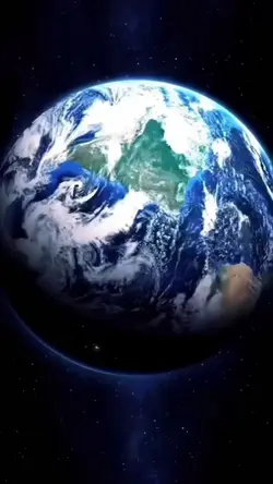
Earth Best Intro

00:17
104.8k
el mundo

00:15
4.6k
AI Best Intro

00:16
92.3k
google search

00:20
8.6k
Esrth Best Intro
Popchallenge
Pixel Style Filter
Mrcomfort Flipbook
I2I
00:17
6.8k
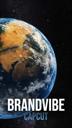
Earth BrandVibe

00:11
7.7k
Earth zoom

00:08
6.1k
INTRO

00:10
6.3k
Eletric Logo

00:19
818
Top Templat
00:14
2.1k
Zoom earth trend

00:10
4.1k
Earth Zoom Out AI

00:17
2.6k
Tech Best Intro

00:18
1.2k
Tech Intro Top

00:10
5.1k
Viral🔥

00:14
6.7k
🔥THE BEST INTRO

00:19
13.7k
Smartphone Intro Top

00:40
5.5k
360 Spin 8 Photos