Hot Templates
PopchallengePixel Style FilterMrcomfort FlipbookI2II2I ComAi In BusinessI2I HealthDeepmind AiI2I Population Health RevenueI2I WebsiteMermaid AIPredictionWallpaper Import Photos Or VideosPhotos Can Be RemovedTry This WallpapePredict Child AIHow Can I Crop Something Out Of A PictureCan You Edit Blemishes On IphoneHow Can You Photoshop Someone Out Of A PictureCan You Photoshop Someone Out Of A Picture
Free Free Earth Map Satellite Imagery Zoom Templates By CapCut

Add new video
00:15
2.6k
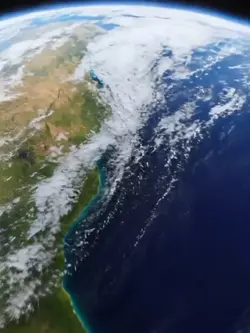
earth zoom trend

00:35
3.5k
Earth Best Intro
00:08
141
Ai zoom earth

00:11
8.0k
Earth zoom

00:15
12.1k
Earth Best Intro
Popchallenge
Pixel Style Filter
Mrcomfort Flipbook
I2I

00:16
13.0k
mundo zoom1 edit
00:10
5.1k
Viral🔥

00:07
2.5k
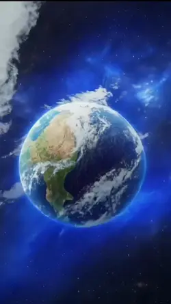
Zoom Earth AI Trend

00:15
2.8k
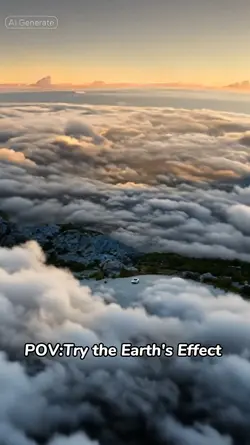
PLANET EARTH
00:10
676
zoom in terra
00:13
13.2k
Earth zoom trend

00:16
10.5k
Earth Zoom intro
00:05
9.9k
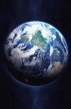
google earth

00:12
3.7k
Space edit 360FPS

00:10
1.7k
Earth zoom meme

00:20
8.7k
Esrth Best Intro

00:10
4.1k
Earth Zoom Out AI

00:17
6.9k
Earth BrandVibe