Hot Templates
Free Zoom Earth Templates By CapCut

Add new video

00:07
2.2k
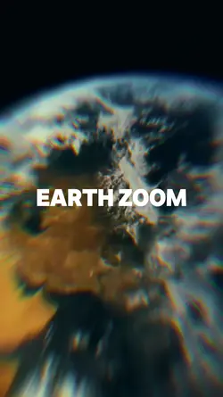
Zoom Earth AI Trend
00:15
2.5k
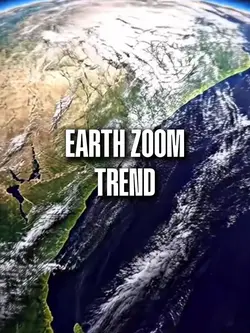
earth zoom trend

00:16
10.2k
Earth Zoom intro
00:14
102.1k
Earth Zoom Trend
00:13
13.0k
Earth zoom trend
birthday best friend
gimme more edit
tm b
Angel
00:10
643
zoom in terra

00:10
3.9k
Earth Zoom Out AI

00:23
5.6k
Cinematic Earth

00:22
10.9k
Earth zoom out
00:17
682
Earth Zoom Trend

00:10
4.8k
Viral🔥
00:11
6.0k
Earth zoom

00:05
9.5k
google earth

00:18
10
earth zoom

00:26
3.9k
Earth Zoom Trend

00:14
857.8k
zoom out earth trend

00:10
1.7k
Earth zoom meme

00:09
1.2k
World zoom