Hot Templates
PopchallengePixel Style FilterMrcomfort FlipbookI2II2I ComAi In BusinessI2I HealthDeepmind AiI2I Population Health RevenueI2I WebsiteMermaid AIPredictionWallpaper Import Photos Or VideosPhotos Can Be RemovedTry This WallpapePredict Child AIHow Can I Crop Something Out Of A PictureCan You Edit Blemishes On IphoneHow Can You Photoshop Someone Out Of A PictureCan You Photoshop Someone Out Of A Picture
Free World Map With Countries Zoomable Templates By CapCut

Add new video

00:16
10.5k
Earth Zoom intro
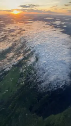
00:05
9.9k
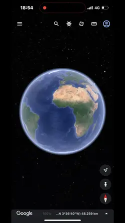
google earth

00:09
29.0k
Image slide

00:10
4.0k
Mapping

00:31
30.7k
Ottoman😢
Popchallenge
Pixel Style Filter
Mrcomfort Flipbook
I2I

00:14
341.4k
plane template

00:10
5.1k
Viral🔥

00:11
55.4k
Country edit

00:15
2.7k
Streetviewtemplate

00:07
24.6k
New Trend

00:20
8.7k
Esrth Best Intro

00:35
3.5k
Earth Best Intro

00:09
3.5k
Victory Donald Trump

00:12
1.2m
all friends are fake

00:16
1.2k
Born other countries
00:16
9.7k
google earth

00:16
3.6k
Veterans Day 2024

00:09
43.9k
Airplane