Hot Templates
popchallengePixel style filterMrcomfort flipbooki2ii2i comai in businessi2i healthdeepmind aii2i population health revenuei2i websiteMermaid AIpredictionwallpaper Import photos or videosPhotos can be removedTry this wallpapePredict Child AIhow can i crop something out of a picturecan you edit blemishes on iphonehow can you photoshop someone out of a picturecan you photoshop someone out of a picture
Free Free Google Earth Map Satellite Imagery Zoom Templates By CapCut

Add new video
00:11
6.3k
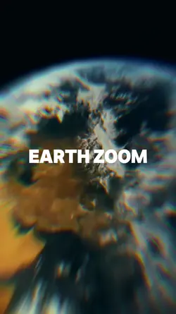
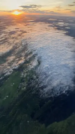
Earth zoom

00:10
1.7k
Earth zoom meme
00:07
2.3k
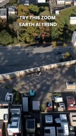
Zoom Earth AI Trend

00:13
13.0k
Earth zoom trend
00:15
2.5k
earth zoom trend
popchallenge
Pixel style filter
Mrcomfort flipbook
i2i

00:14
860.4k
zoom out earth trend
00:10
4.9k
Viral🔥

00:14
826
earth zoom trend

00:13
10.2k
EARTH ZOOM TREND

00:36
170
cinematic trailer
00:13
7.5k
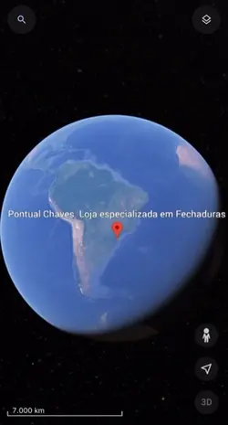
Local no mapa
00:05
9.6k
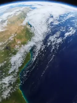
google earth

00:16
9.7k
google earth

00:12
5.9k
INTRO Car
00:13
4.8k
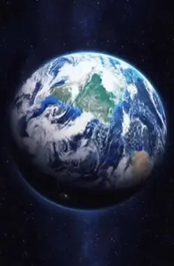
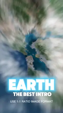
Earth Best Intro 🏆

00:20
8.1k
Esrth Best Intro

00:16
12.7k
mundo zoom1 edit

00:15
2.4k
Streetviewtemplate